The Southern Howgills.
Start. Sedbergh.
Route. Sedbergh - Howgill Lane - Winder - Arant How - Sickers - Knott - Ashbeck Gill - Crook - Castlehow - Sedbergh.
Notes. It's the Easter Bank Holiday, the roads into the Lakes will most probably be blocked by slow moving traffic, aren't I the lucky one, only twelve miles from home lies Sedbergh in the Yorkshire Dales National Park, laying in the shadow of the Howgill Fells, overlooked by many walkers this quiet backwater is able to boast some of the best fell walking outside the Lakes. The ascents are steep, the ridges grassy and airy, the gills cut deep into the mountains and it's quiet even on a bank holiday, have a wander around there are lots of hidden corners, this walk explores but a few.
From the Dalesman Inn I made my way up Howgill Lane, just over a mile of road walking followed before a fingerpost directed me onto the fell, initially ascending between dry stone walls before stepping through a gate onto the open fell. My route was simple, follow the path straight up the steep western ridge of Winder, and yes the summit was a welcome site. I descended to the coll above Settlebeck Gill, here I left the main path to start the equally steep ascent of Arant How, another welcome summit, I'm beginning think the person who first coined the phrase breath-taking views was a shepherd in the Howgill Fells.
The hard part of the day over I casually wandered across the summit ridge to access the main path. Out of sight at this point a steep grassy ridge leads to Sickers Fell and Knott, I immediately left the main path to access a little used trod descending this wonderful ridge. With the valley of Hobdale far below to my left I crossed the head waters of Ashbeck Gill before climbing the rarely visited Sickers Fell. Onwards to another Howgill gem Knott with splendid views to match it's equally splendid summit cairn. From Knott it was almost time to descend but not quite, first I intended to conquer the twin summits of Crook, easier said than done from here. I retraced my steps to access a faint path cutting across the northern slopes of Sickers Fell, take care at grid ref SD 6675 9421, the gill is almost impossible to cross after this point, I descended to a small weir to gain access to another path on the north bank.
As the gill dropped away below me my sights were firmly set on one of two paths rising to the summit of Crook, I chose the first one. After a short leg burning climb I flopped down on the summit, that was definitely the last climb of the day. Re-tracing my steps I descended to join the path I had just left, at an indistinct junction I descended further to reach the intake wall, which I followed west to reach a small stile that allowed access to the pastures below. All that remained was a short walk through fields back to Sedburgh.

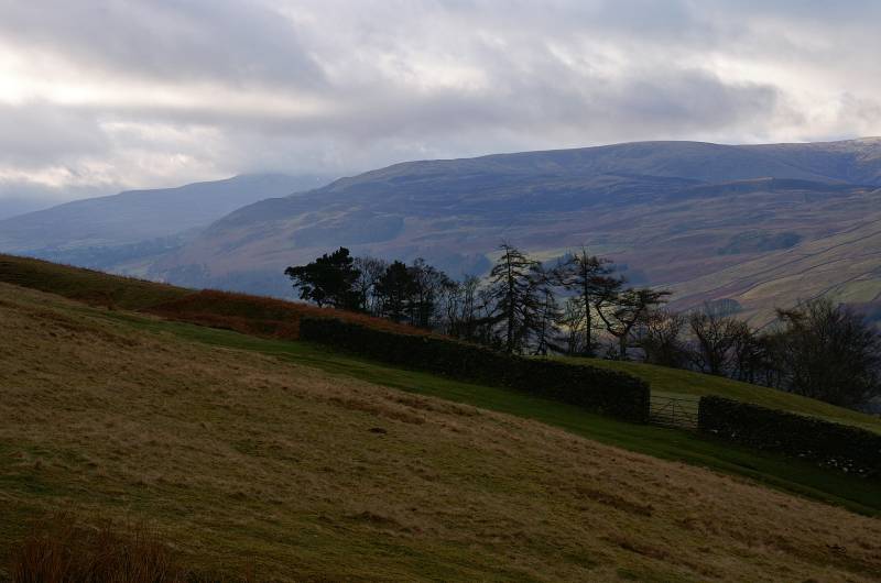
On the steep ascent of Winder looking to Middleton Fell.
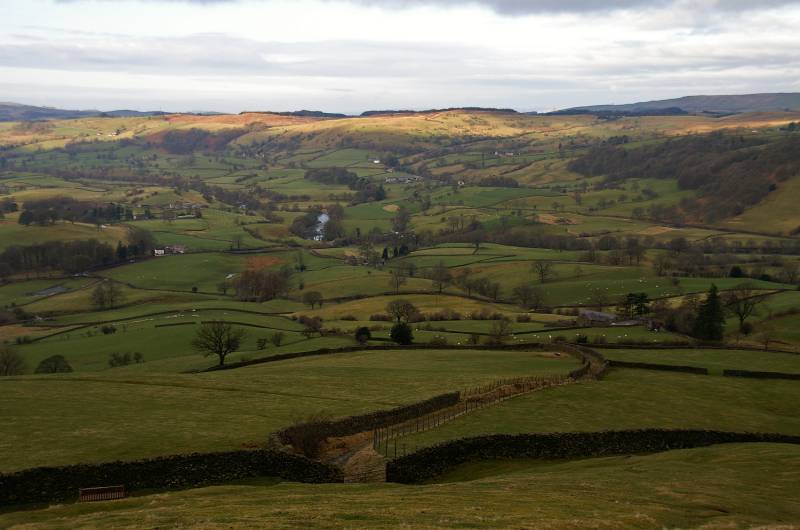
Golden light over Firbank Fell, seen across the vast expanse of the Lune Valley.
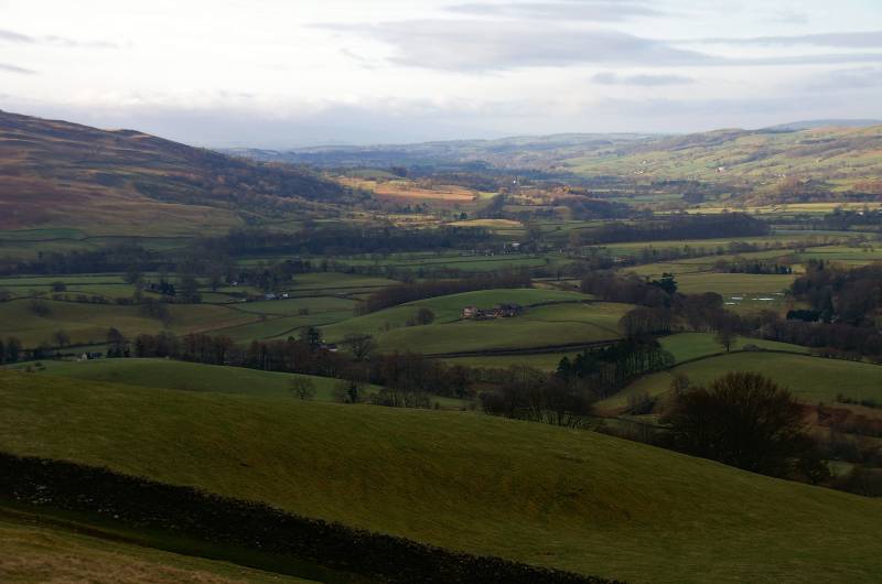
The stunning view from the slopes of Winder, the Lune Valley stretches south to the horizon.
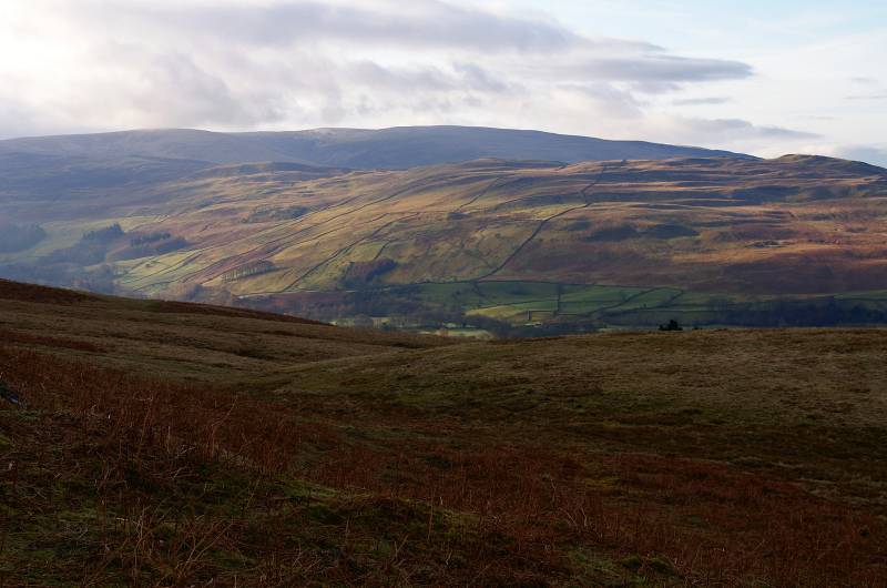
Dappled light across Middleton Fell.
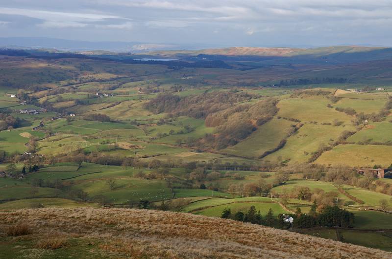
On the summit of Winder looking to Killington Reservoir across Firbank Fell and the Lune Valley, the small crag catching the sunlight above the reservoir is Whitbarrow guarding the entrance to Lyth Valley 14 miles to the west.
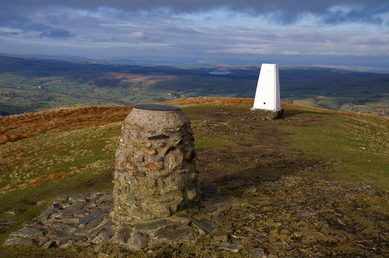
A newly painted trig point and view finder adorn the summit.
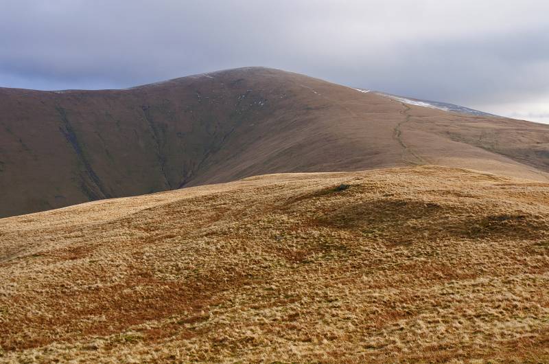
Next on the agenda rising on the northern skyline, Arant Haw.

A stunning view over Crook, the high skyline being Crag Hill rising from Dentdale.
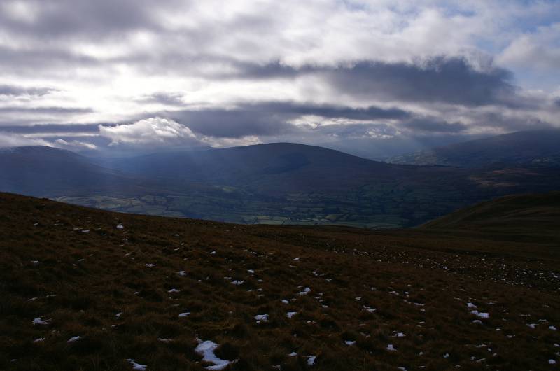
Viewing Baugh Fell and Aye Gill Pike with sunburst over Garsdale.
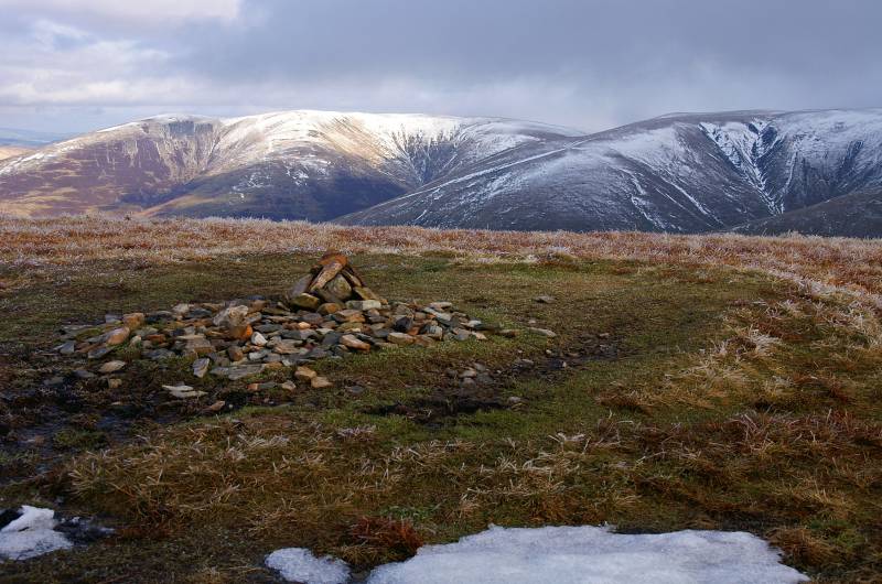
This small insignificant cairn marks the summit of Arant Haw.
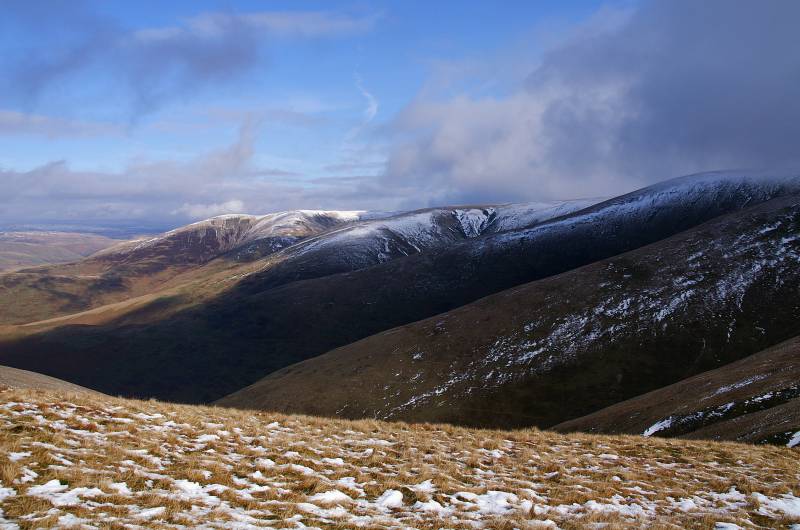
The finger like ridges of the Howgill Fells, Whin's End leading to Fell Head, Linghaw and Knowls carry the eye to Blake Ridge with Blease Fell and Uldale Head almost aloof on the horizon.
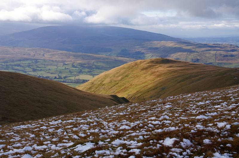
The view over Ashbeck Gill, sunlight on Crook with the Middleton Fell in shadow.
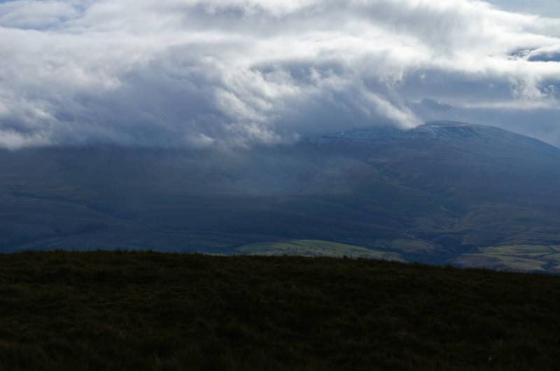
Cloud dances across the summit of Baugh Fell.
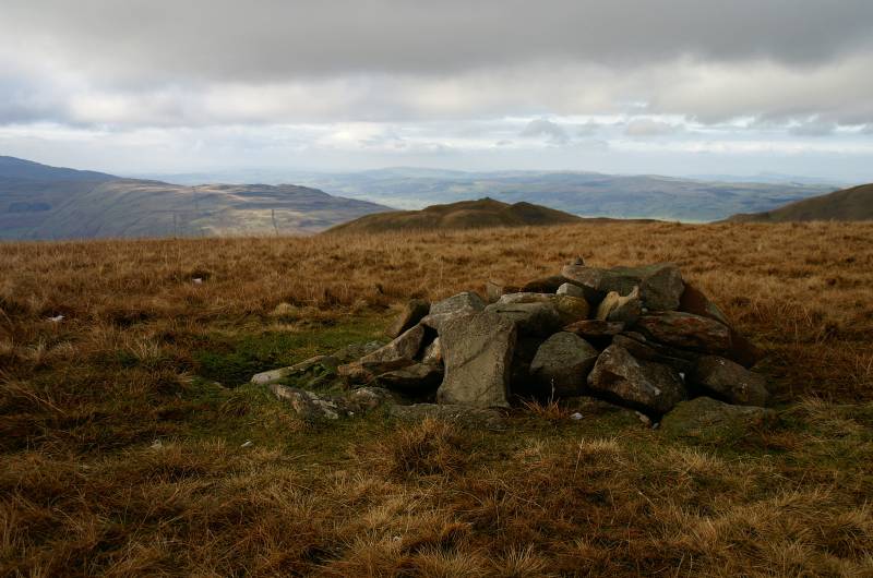
The summit cairn Sickers Fell.
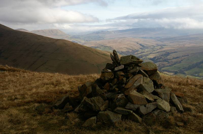
On Knott looking to Fell End Clouds and the hidden side valley of Uldale.
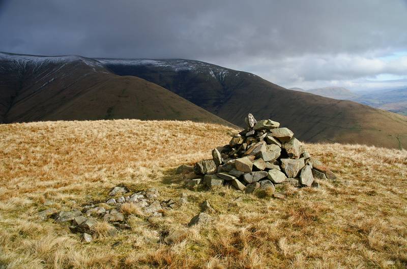
Looking to the broad grassy saddle of Middle Tongue leading to Calders.
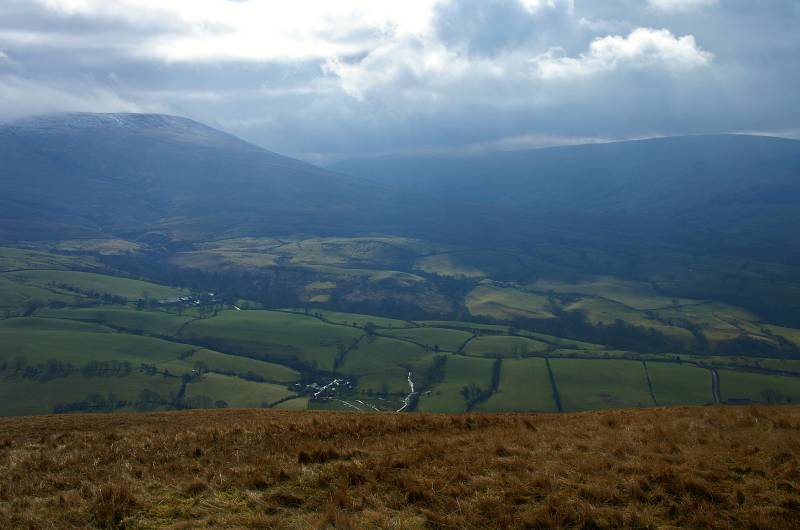
Over the Rawthey Valley the dark foreboding slopes of Baugh Fell, to the right across the foot of Garsdale, Aye Gill Pike.
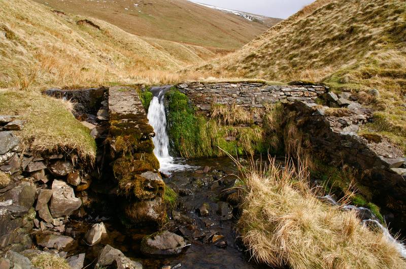
The weir in Ashbeck Gill a perfect place to ford the stream.
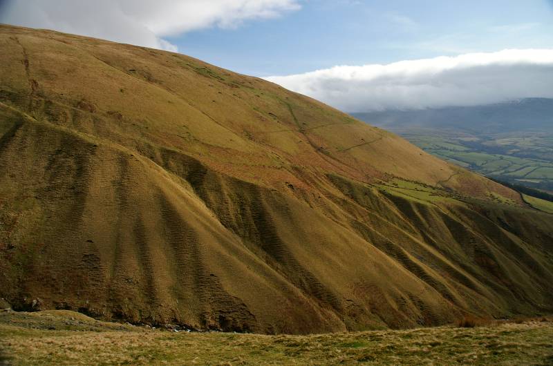
Rising almost sheer from Ashbeck Gill the slopes of Sickers Fell.
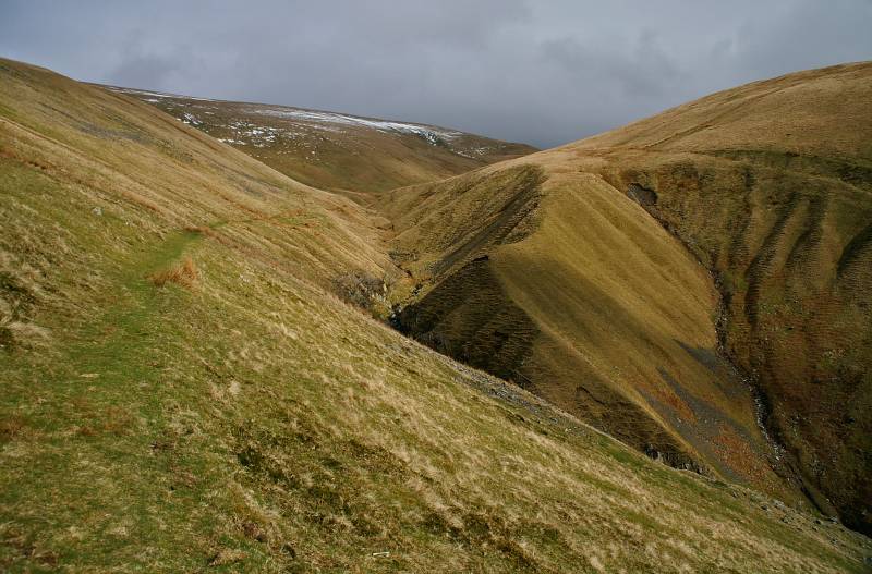
Views taken looking back up Ashbeck Gill, the little used path makes a wonderful descent route, unfortunately for me at this point I'm about to attempt the ascent of Crook.
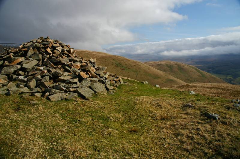
The summit Crook.
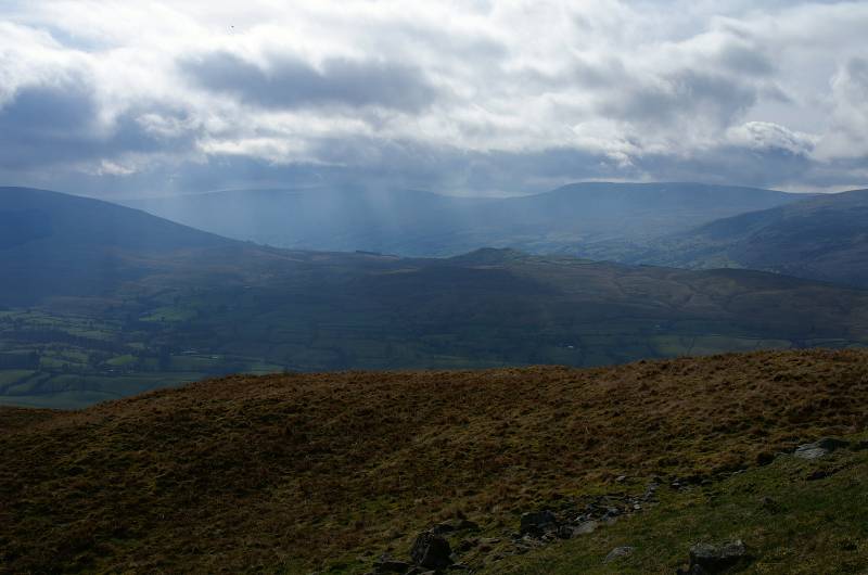
The hill may be named Crook but the views certainly don't make you feel cheated, the Dentdale skyline. seen across little Helms Knott.
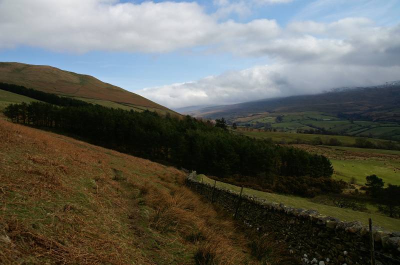
The Rawthey Valley seen from the intake wall.
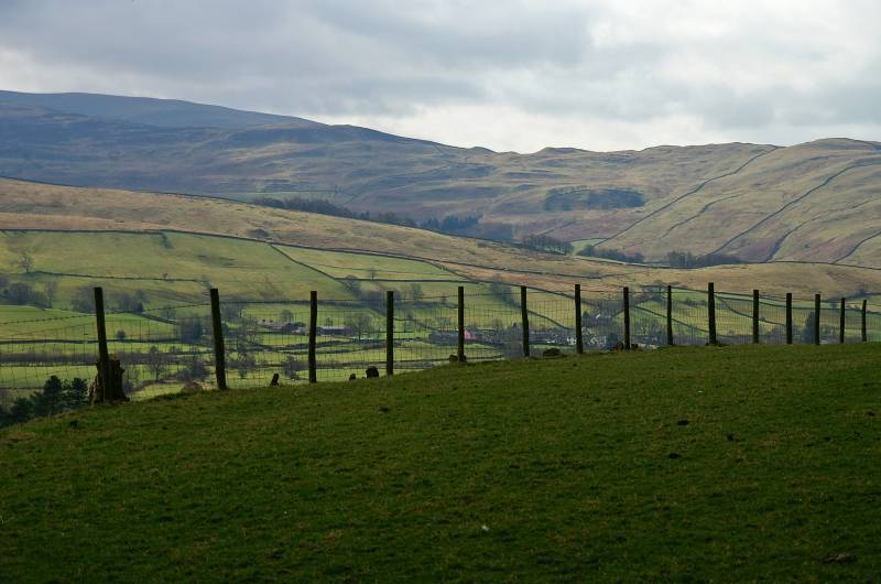
Striding through the fields of Rawthey Dale en route to Castlehaw, with a view to Frostrow and Long Moor.